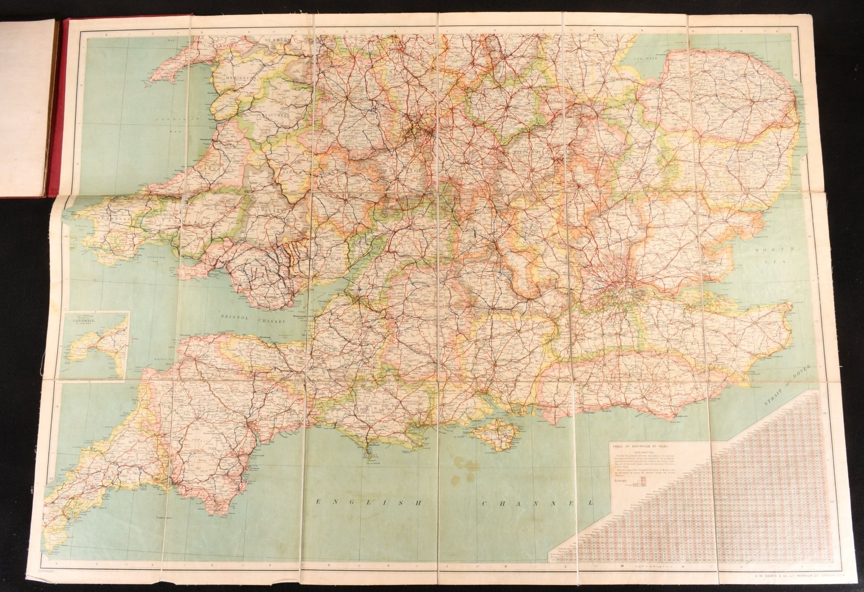
None — Map of England and Wales
Oxford, The Chart Publishing Co. c1920. Cloth. Two bright and large maps of England and Wales printed by G. W. Bacon and Co. With one map covering northernmost England and the main roads out of London, and the other south England and Wales, with a table of distances by road.Maps measuring 40x36in, and 40x30in respectively.Originally sold for 47/6 when published. Printed by G. W. Bacon and Co. Undated; dated by the location of G. W. Bacon. In the original full cloth binding. Externally a trifle worn; spine is starting along both hinges, with cloth fraying to the head and edges of the spine in particular. The odd tidemark to the boards. Map, which is laid down on cloth as issued, has the odd spot and mark. Good . Ill.: Not Stated. Good .