Thomas Moule — Great Britain Illustrated
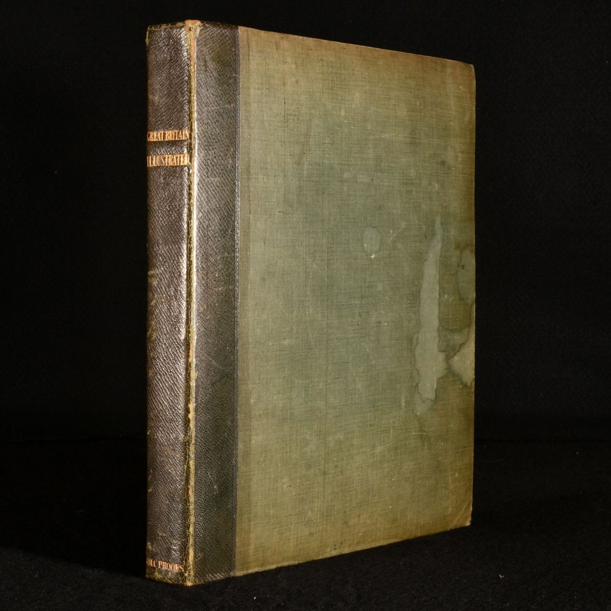
London, Charles Tilt, 1830. First edition. Leather. The first edition of this illustrated topographical work on the beautiful picturesque scenes of Britain, lavishly illustrated throughout. A lavishly illustrated work on the topography of Great Britain, illustrated by William Westall based on engravings by Edward Finden. Including a series of interesting and noteworthy views throughout the British countryside and in cities throughout the country. Including topographical descriptions by the English antiquarian Thomas Moule, known for his decorative county maps of England.William Westall was a noted British landscape artist, one of the first artists to depict Australian scenes.The first edition of this work.Illustrated with a vignette title page and fifty-six plates. Each plate consists of two engravings.Collated and complete. Containing a previous owner's ink signature to the front pastedown: 'J. Bettridge&apos. In quarter morocco binding with cloth covered boards. Externally, some light rubbing to the joints and spine. Some dampstaining to the front board, and light shelf wear. Containing a previous owner's ink signature to the front pastedown. Internally, firmly bound. A tidemark to the vignette title page, and to the plate following page 13. Some light handling marks to the pages, particularly to the extremities of the plates. Good . Ill.: William Westall; Edward Finden. Good .