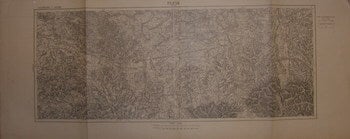
[20th Century French Cartographer] — Pless, Beuthen. Series: Allemagne
[Paris], France: [20th Century French Catrogrpaher], [c. 1900]. Folded Military Map. 38x93 cm. Very Good. Scale: 1: 1000,000 Verso: Partial Map of France. Text in French. .
Machine translation by Google. The original description of the seller is leading.
Log in or create an account to translate descriptions. Accedi
Numero libro:
69-7046
$150.00 (€136.09 | £113.54 | ¥23,953)