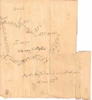
Gifford, [Archie.] — Hand Drawn Map Indicating Property Lines & Measurements
[19th Century Land Surveyor]. Hand drawn map. 21.5 x 21 cm. Folded, page. Good with tears, losses, some sunning. Inked MS drawing. .
Machine translation by Google. The original description of the seller is leading.
Log in or create an account to translate descriptions. Accedi
Numero libro:
68-8275
$75.00 (€68.05 | £56.77 | ¥11,977)