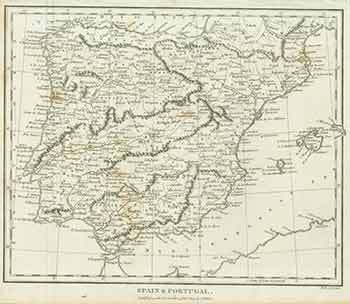
J. Wilkes — Spain & Portugal (19th Century Map)
London: J. Wilkes, [1809]. 8 x 10 inches. Very Good. Some wrinkling at top margin, not affecting image. Fine copperplate engraving. 19th Century, uncolored map. "Published as the Act directs 13th Oct 1809." Scarce. .
Machine translation by Google. The original description of the seller is leading.
Log in or create an account to translate descriptions. Accedi
Numero libro:
18-0999
$75.00 (€68.05 | £56.76 | ¥11,978)