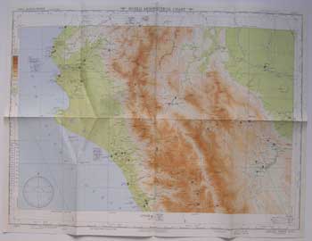
USAF Aeronautical Chart and Information Service — Map of Aguja Point, Ecuador-Peru
Washington, D.C.: USAF Aeronautical Chart and Information Service, 1949. Color aeronautical chart measuring 28 x 22 inches. 3rd ed. April 1949. No. 1011. Scale = 1:1,000,000. Index, legend, etc. on verso. Folded. Ex-library with stamp but no other markings. .
Machine translation by Google. The original description of the seller is leading.
Log in or create an account to translate descriptions. Accedi
Numero libro:
11-0737
$75.00 (€68.05 | £56.77 | ¥11,973)