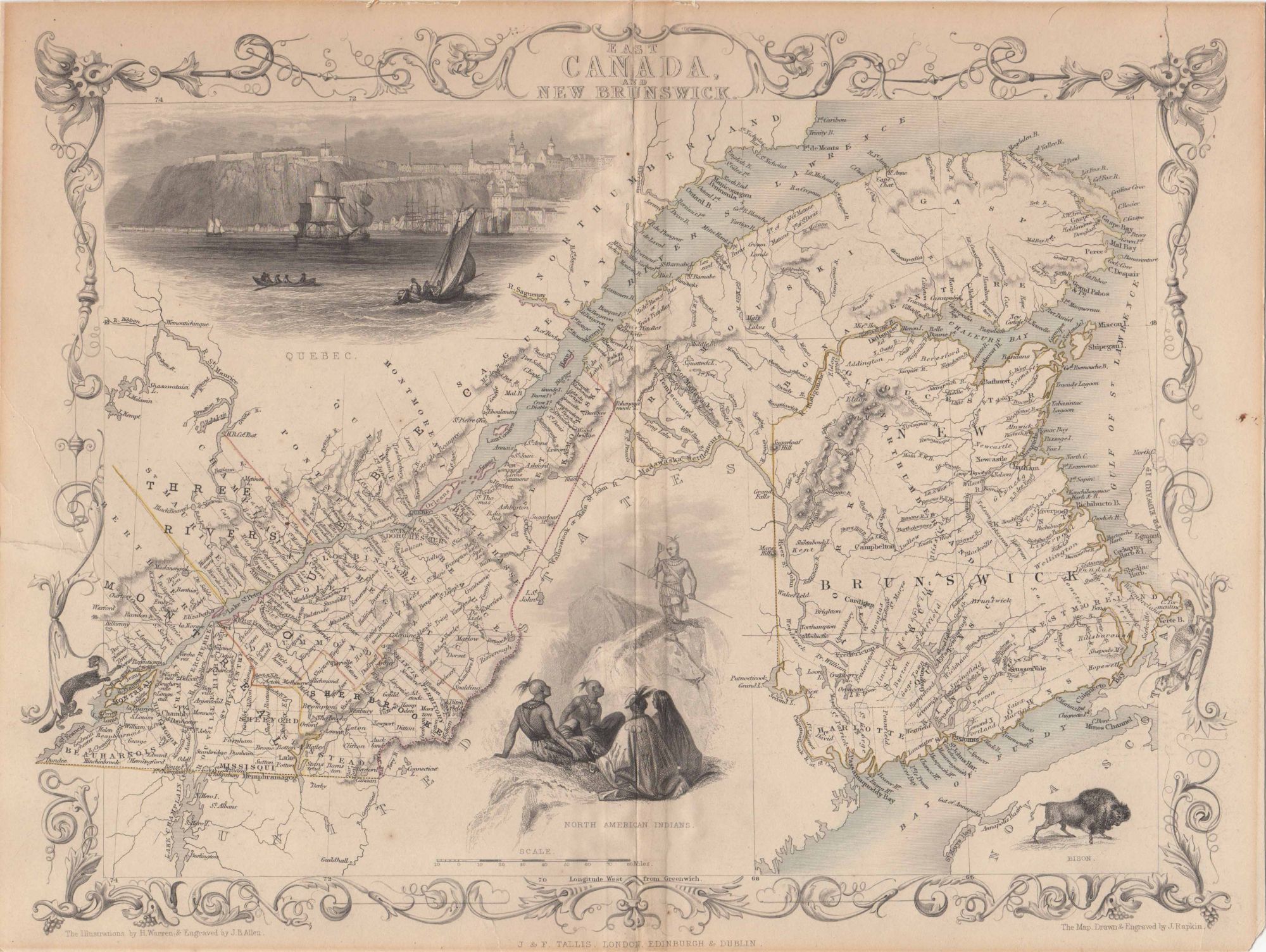
Rapkin, John; Tallis, John — [Map] East Canada and New Brunswick
London, Edinburgh & Dublin, J. & F. Tallis, 1857. 1 sheet folded. Engraved map outlined in color. 13 x 10.5 inches. Contains decorative border. Illustrations for the map were drawn by H. Warren & engraved by J.B. Allen, and depict a view of Quebec, a small group of North American Indians, a bison, and a mink (not labeled). In most editions an official Canadian seal is found in place of the bison. Perhaps taken from from: Robert Montgomery Martin's Tallis' Illustrated Atlas, [1851-1857] according to The W. H. Pugsley Collection of Early Canadian Maps. Trimmed without loss, mounted to card stock, a few edge tears, faint soiling, verso reinforced tape, still good.
Machine translation by Google. The original description of the seller is leading.
Log in or create an account to translate descriptions. Accedi
Numero libro:
44574
$75.00 (€68.05 | £56.76 | ¥11,978)