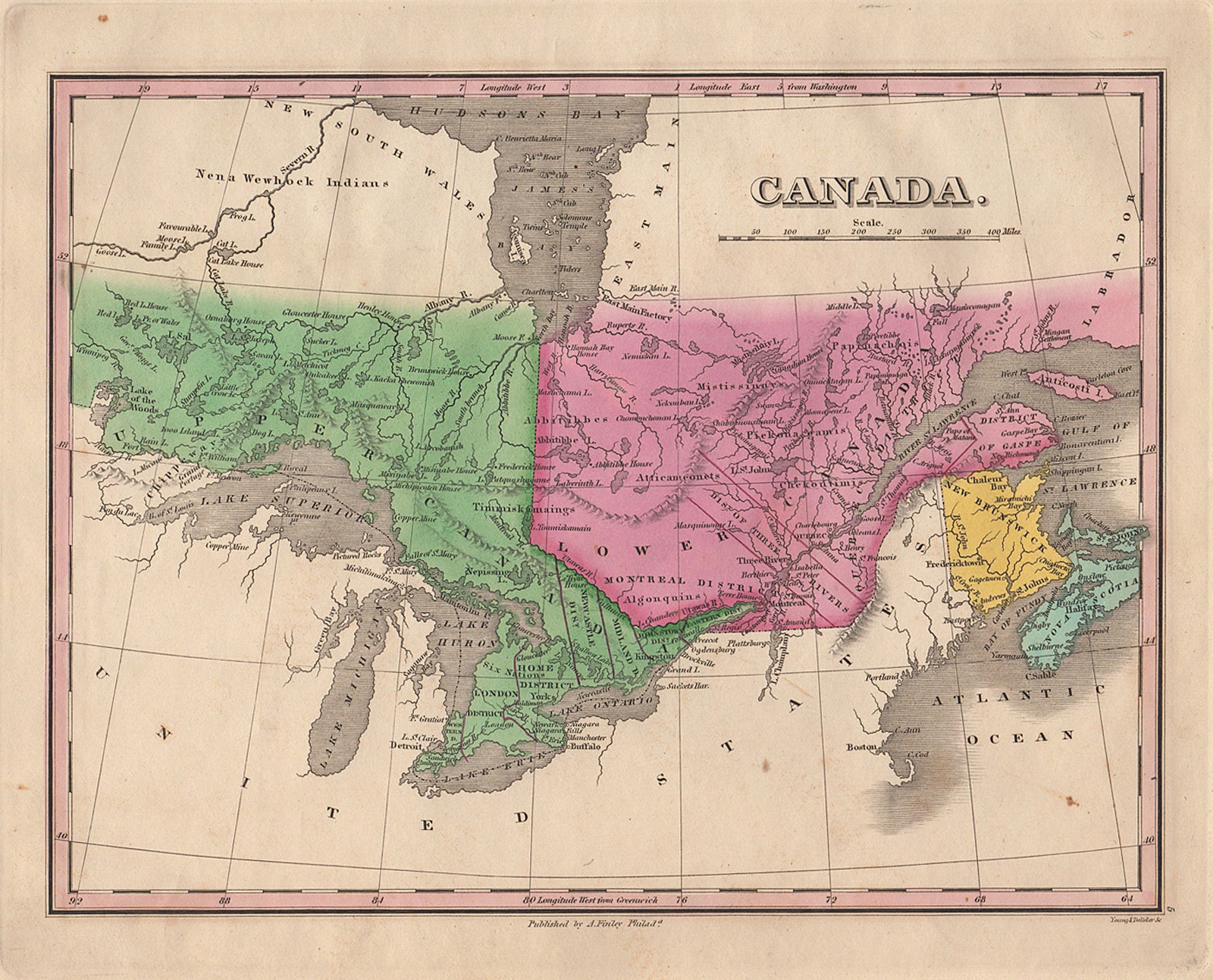
A. Finley; Young & Delleker — [Map] Canada, by A. Finley, 1830
Prima edizione
Philadelphia, A. Finley, 1830. 1 sheet. 22 x 29 cm on 27 x 35 cm sheet. Cooper engraved colored map. 8.5 x 11.25 inches. Engraving by Young & Delleker. Taken from 'A New General Atlas'. Engraving by Young & Delleker. Includes Upper and Lower Canada, New Brunswick, and Nova Scotia. According to Ramsey "This atlas was first issued in 1824, with editions published annually to 1834. Each succeeding year new maps were added and others updated." The map of Canada in this edition added material not found in the first edition and does not have color added just to the right of Lake Superior. Phillips: Atlases 755-5. Very good, minor edge wear and soiling.
Machine translation by Google. The original description of the seller is leading.
Log in or create an account to translate descriptions. Accedi
Numero libro:
44572
$125.00 (€113.41 | £94.60 | ¥19,963)