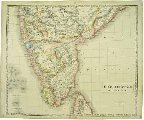
George Philip & Son — Hindostan. Southern Part
Prima edizione
[Liverpool], n.p. 1853. First edition. 1 sheet. 20 x 24 inches. Colored map based on Thomson's engraved map, c.1817, from his World Atlas. This 1853 lithograph contained numerous changes reflecting the current state of geography, at that time and was issued by George Philip & Son, in Philip's "Imperial General Atlas, comprising forty-two Maps .. accompanied by a .. consulting Index. By J.H. Johnston." Fairly scarce in this first edition of 1853, though it would be reprinted through out the 19th century. Closed tear at upper fold slightly into the image, split at lower edge, repaired, old small tape marks in margins but still a very good copy with nice color.
Machine translation by Google. The original description of the seller is leading.
Log in or create an account to translate descriptions. Accedi
Numero libro:
41791
$100.00 (€90.73 | £75.68 | ¥15,971)